Tuesday, February 27, 2018

Day 11: From Gevanim night camp to Mitzpe Ramon - 25th February, 2018

While I was getting ready in the morning, a fox (I think . . .) visited the campsite to go through rubbish left behind (look carefully in the middle of the picture)

I set off again early from the night camp. The day started with a 3km walk to #40 road.


After crossing the road, the first climb for the day, with some great views over the Maktesh.


I walked past the "Ammonites wall" where there were lots of clear ammonite fossils (extinct marine life that lived in spiral shells). I was expecting something small, but they were huge (30-40cm diameter I would guess). 


There was another (more challenging) climb up to "Shen Ramon", which also had great views over the Maktesh


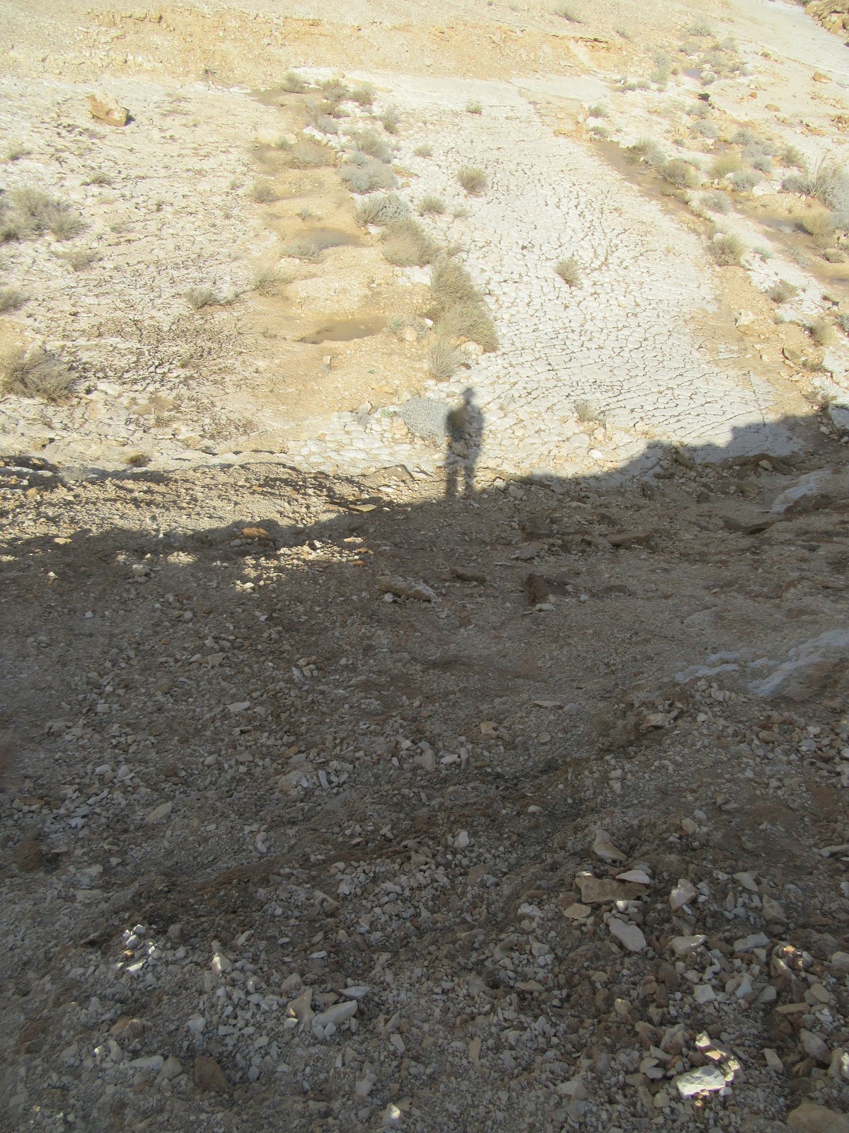
After that, the trail heading down into the Maktesh, mostly along Nahal Ramon (Ramon river).


The walking in the Maktesh was relatively easy. 


I resisted the option to save 5.5km and take the short-cut to Mitzpe Ramon. After a short lunch break under a small tree in the (dry) river, I did the climb up to Mitzpe Ramon. Although it was the biggest climb of the 3 days, it was not too hard. It was very windy, which kept me nice and cool, but I had to take my hat off for fear of it blowing away back into the Maktesh.

The clouds showed strange patterns.


Although I didn't see a lot of wildlife during these 3 days (apart from birds, some deer in the distance, and some foxes at the campsites), I did see some ibex just wandering around Mitzpe Ramon, as you do


Hopefully in Pesach I will manage to walk a few more days!

Day 10: From Gev Holit night camp to Gavanim night camp: 24th February 2018

I set off again early to try to get a few hours of walking done in the morning.


The day started with an early climb to the Ein Geled spring. There was quite a lot of water there, assumedly largely after the rain.


The day included some great views, and it was good walking weather (not too hot).


A few of the trees were already showing signs of flowers


I walked passed the "Karbolet harerim" (English translation: cockscomb). I read that term (cockscomb) in the guide book and couldn't for the life of me work out what a cockscomb was . . . finally I remembered from one of the children's books I read to my kids that a "karbolet" is the thing roosters have on their heads. And yes, it does look like that!


Quite a few nice acacia trees around


After walking down from the "karbolet", I started to see lots of people around. I soon reached the "Nekarot horseshoe". I understood that there is relatively easy car access nearby (and it was a Saturday), hence the (relatively) large number of people around.


After the horseshoe, there was a final climb of the day on Mt. Saharonim. There was a good view from the top of Maktesh Ramon and all the way to Mitzpe Ramon. There was also a good view of the Gavanim night camp where I was to spend the night.


I arrived at the night camp with plenty of time. I found the water cache, and setup my tent. Again there was no phone reception, but I walked back part of the way up Mt. Sharonim where they was reception. I went back down to the night camp - it was still early (5pm), and nobody else was there. I disciplined myself to wait until 6pm to eat dinner (Majadra from a packet), then got into my sleeping bag (it was cold!). I managed to stay awake until 9pm reading my book. In the end I wasn't alone at the campsite, around 8pm a couple also came to camp.

Day 9: From Sapir to Gev Holit: 23rd February, 2018

The plan was to walk again during the break between the semesters. It took a long time to find a few consecutive days without committments, but finally I managed to find some time. I left home at 5:30, and after a taxi and two buses, I made it back to Sapir. I had been following the weather the whole time - a day before the forecast had switched to rain in the morning. As the bus left Beer Sheva it started raining (a lot!), and I was worried I wouldn't be able to walk. By the time the bus got to Sapir, the rain had calmed down to a light rain, so I set off in the rain (after covering my backpack with a rainproof cover). A kind resident of Sapir picked me up on the access road and dropped me off at the back of the settlement, not far from the Israel trail.

While on the down side it was raining and there was a lot of mud and water, on the plus side it was a whole different view on the area to what you usually see. The usually dry river beds all turned into small streams, and water could be seen flowing everywhere. Below are some examples.


At one point I had to cross a river, but there was no obvious places to cross. After walking back and forth a few times I found some "islands" I could jump between to get across


The weather started to clear up, and the day had some beautiful views over the arava


It's hard to tell from the photo, but these cracks in the rocks go down a long, long way!


Shadow self-portraits from the top of a cliff


Most of the day I did not see anyone. In the afternoon while up in the hills, I saw a few 4 wheel drive jeeps around. I met some of them later at the campground. A few of them came to see the water after the rain, it is a rare occurance here and the water gets absorbed very quickly. 


Is it just me or does this look like an elephant?


I made it to the Gev Holit night camp at around 17:00, found the water cache, and then tried to ring home. Unfortunately no reception, and the usual trick of climbing the nearest hill did not work. Luckily I found some people in a 4x4 that were heading out of the park and they agreed to ring home once they had reception. I was exhausted after the day and went to sleep early (around 21:00).