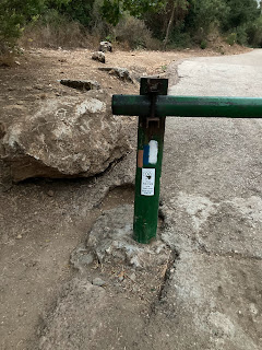
I started the day early (6:15) setting off from the Alma bridge
The path continued following the Dishon river (still dry) for a few kilometers.
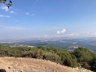
After a steep ascent, there was a great view over the Hula valley
After nearly losing my watch (the strap broke and it fell off without me noticing, I went back and found it), I soon reached Keren Naftali, which had a great view over the Hula valley on one side and into Lebanon on the other.
There were huge number of migrating birds flying over Keren Naftali, making beautiful patterns in the air as they flew around
This is the view of Keren Naftali as I continued on the way.
The Agamon Hula (Hula lake), where you can see the migratory birds, could be seen down in the Hula valley
The birds flying around Keren Naftali were visible for a significant distance
The path went past the depopulated village of Al-Nabi Yusha'
At the intersection there was a small foodtruck , a great place for a quick break
I took a look around at the museum at the Yesha fort (about the 3 attempts it took to take the fort, and the 28 people that died). The path continued down into Nahal Kadesh
The descent was steep and involved climbing down rocks
After a steep ascent, the path continued on a dirt track, with views over the Hula valley
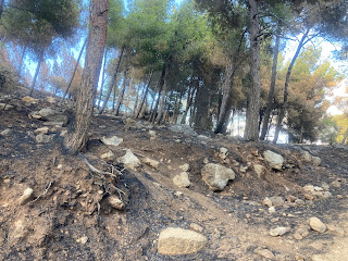
Some of the forests had recently been burned
The path went under the Manara cable car (which has been closed for the last 3 years)
The path continued past Kiryat Shmona
After a descent through the forest, the path went past Tel Hai
including the somewhat neglected sculpture park
The path ended at Kfar Giladi. I was expected something more to celebrate reaching the end, but instead there was a sign requesting hikers not to continue on the path for "security reasons"
The moon rising over the Golan
The roaring lion statue at Tel Hai
So 5 years and 8 months after stating in Eilat, I finally made it to the end of the Israel trail!


